
In-House Pilots
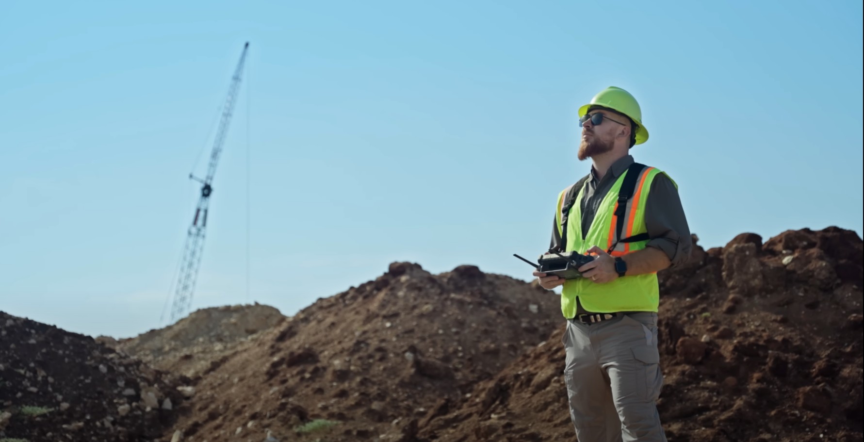
Our FAA-certified pilots are part of the Terrascope Labs team, not contractors. That means better communication, accountability, and consistent results.

We’re more than drone pilots — We are your data partner. At Terrascope Labs, our focus goes beyond capturing stunning images from the sky. We deliver precise, actionable data designed to help you make smarter, faster decisions. Our mission is simple: to provide the insights you need to move your projects forward with confidence.
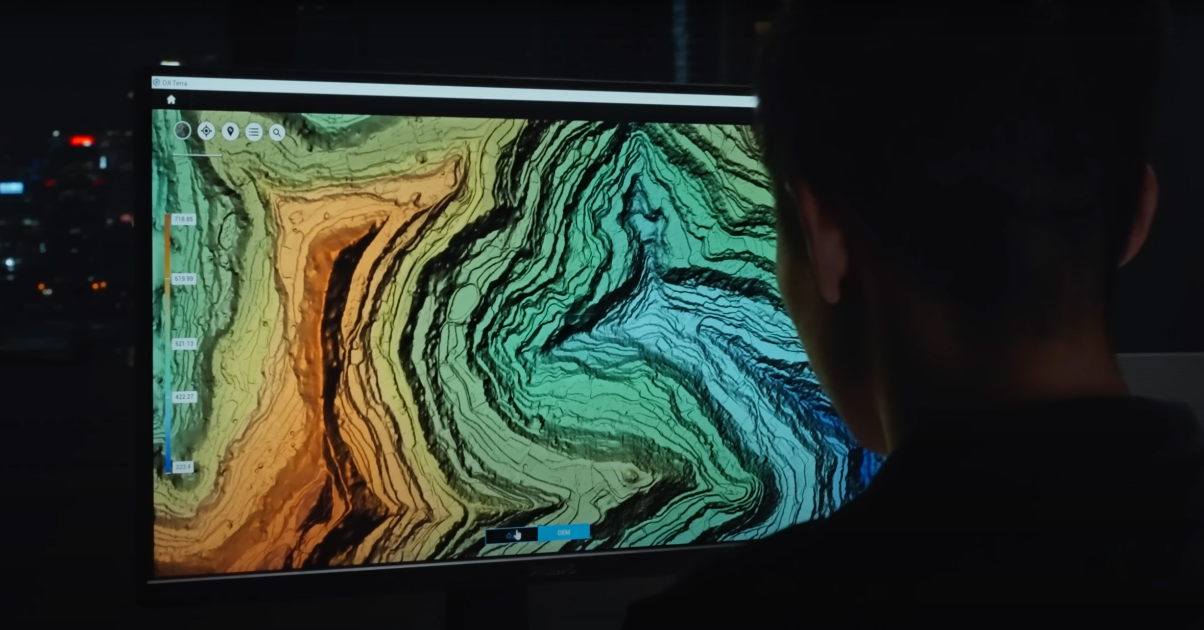
Penetrates vegetation to capture true ground elevation with centimeter-level accuracy. Make confident decisions in grading, drainage, and land development planning with precise elevation and slope data.
We Convert high-resolution aerial imagery into georeferenced 3D models and orthomosaics. Visualize your site in detail, measure distances and areas, and document every stage of your project with precision.
We Quickly and safely measure material quantities without halting operations. Stay on top of inventory, improve forecasting, and cut costs by eliminating over- or under-ordering.
We Deliver accurate, large-scale maps tailored to your coordinate system and project requirements. Plan smarter, reduce survey time, and ensure every stakeholder has a clear, consistent view of the site.
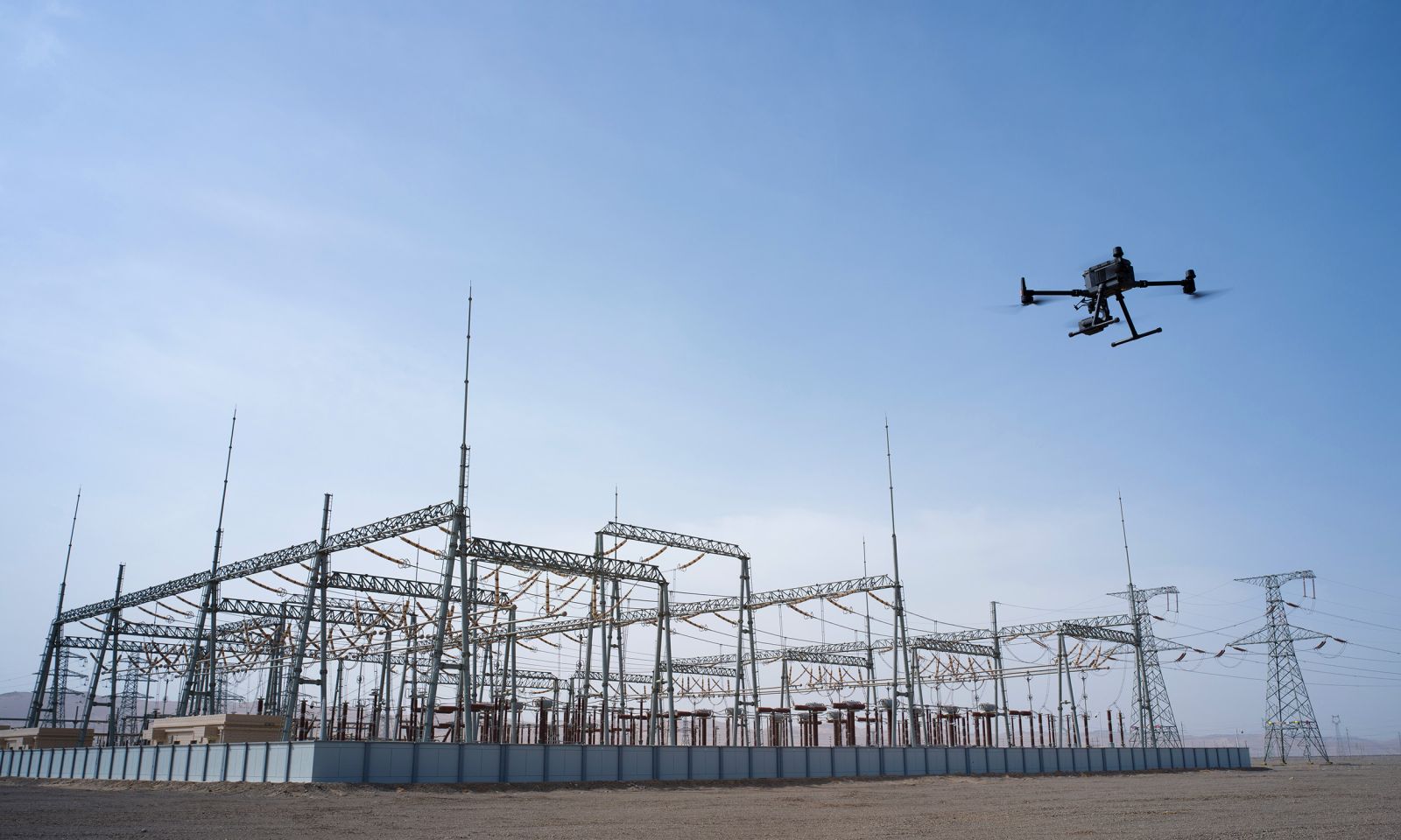
We capture close-up, high-resolution imagery of hard-to-reach or hazardous structures without putting workers at risk. Identify issues early, reduce downtime, and ensure compliance with safety and maintenance standards — all from a safe distance.
We document every stage of your build with consistent aerial imagery and data over time. Keep stakeholders informed, track milestones visually, and resolve disputes with clear, timestamped records of site progress.
Engineering firms, construction managers, and developers across Texas rely on Terrascope Labs for advanced LiDAR drone services. Our FAA-certified pilots and state-of-the-art sensors deliver survey-grade data that saves projects both time and money — without sacrificing accuracy.
LiDAR (Light Detection and Ranging) uses laser pulses to capture millions of data points in seconds, creating highly accurate 3D models of terrain, structures, and landscapes. At Terrascope Labs, we deploy the latest LiDAR technology to deliver centimeter-level accuracy — even through dense vegetation or challenging terrain — so you can plan, design, and build with total confidence.
At Terrascope Labs, we’re built differently than the big drone providers. With in-house pilots, lean operations, and the latest drone technology, we deliver faster, more flexible, and more cost-effective results without compromising on quality or safety.
In-House Pilots
Our FAA-certified pilots are part of the Terrascope Labs team, not contractors. That means better communication, accountability, and consistent results.
Flexible & Dynamic
Without corporate overhead, we adapt quickly to client needs, custom flight plans, fast scheduling, and responsive support to keep projects moving.
Cost-Effective Solutions
Lean operations mean you save more. We pass cost efficiencies directly to our clients while still delivering enterprise-grade accuracy.
Next-Day Visits
Need data fast? Our team is ready to deploy quickly, with next-day site visits available for urgent projects.
Latest Drone Tech
We fly the newest airframes and sensors to ensure your data is captured with the highest precision available.
Fully Insured
Peace of mind included. Every project we fly is fully insured, protecting your assets and your team while our drones are in the air.
*Typical field performance with RTK and QA/QC. Terrascope Labs is not a licensed engineering or land surveying firm.
FAA Licensed pilots, insured, and equipped to give your project the aerial edge and data you can trust. Complete the form below to get a quote, or call us at 1-214-400-7989 to speak directly with our drone experts.